The World’s Largest Road
AAA estimated that over 72 million Americans would travel this 250th Birthday Weekend, with over 61 million Americans driving more than 50 miles, while others flew, boated, cruised, or boarded a train. These projections exceeded any previous Fourth of July activity, signaling a thirst for savoring a portion of America’s birthday, despite fuel prices being about 75 cents a gallon higher than this time a year ago.
All of those cars, on all of those roads, headed to beaches, national parks, the big city celebrations, the seashore—Yikes! We headed to the ocean, the Gulf of Maine, the connection to the world’s largest method of transportation—the open waters of the sea.
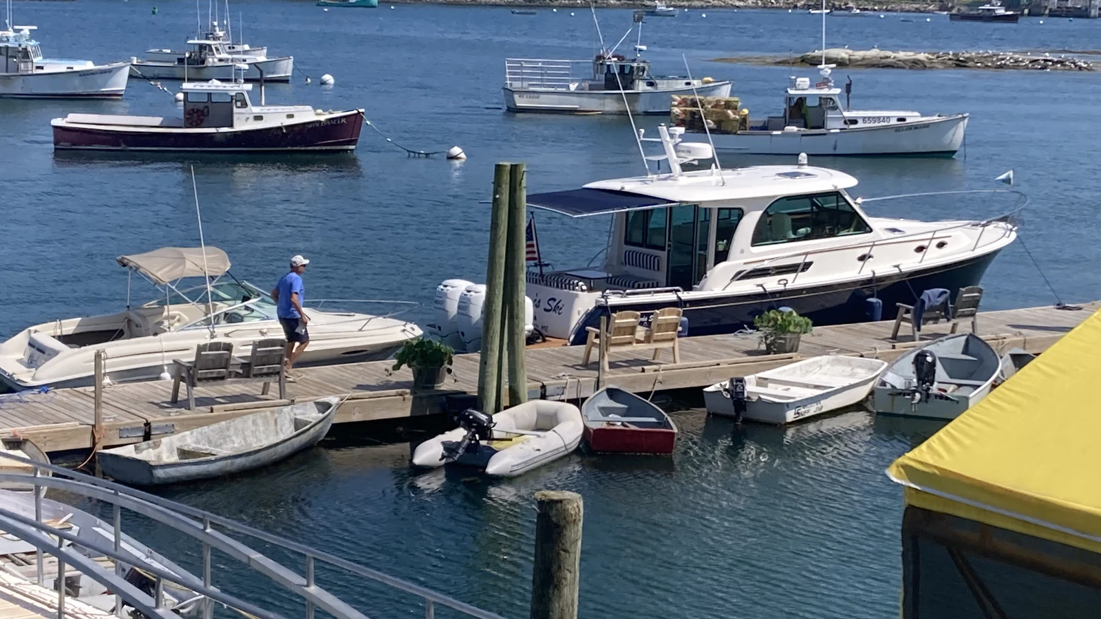
In spite of our booming economy and fast-paced world, it is far too easy to forget how Americans traveled when we were “born.” Roads were few and rough in 1776. A carriage ride, or by horseback, from Boston to its suburbs—or to its northern region, now known as Maine—took a long commitment and a certain amount of sacrifice.
Many still traveled by boat, sailing the waters of the Gulf of Maine to reach ports south, as well as England and Europe.
It was through these waters that the first settlers reached New England, with a fishing colony established on Damariscove Island just south of Boothbay in 1604, a full sixteen years before the Pilgrims landed in Massachusetts. This outpost outlasted the first settlements in St. Croix (in the river between Maine and New Brunswick) and at Popham Beach, a few miles west of Damariscove.
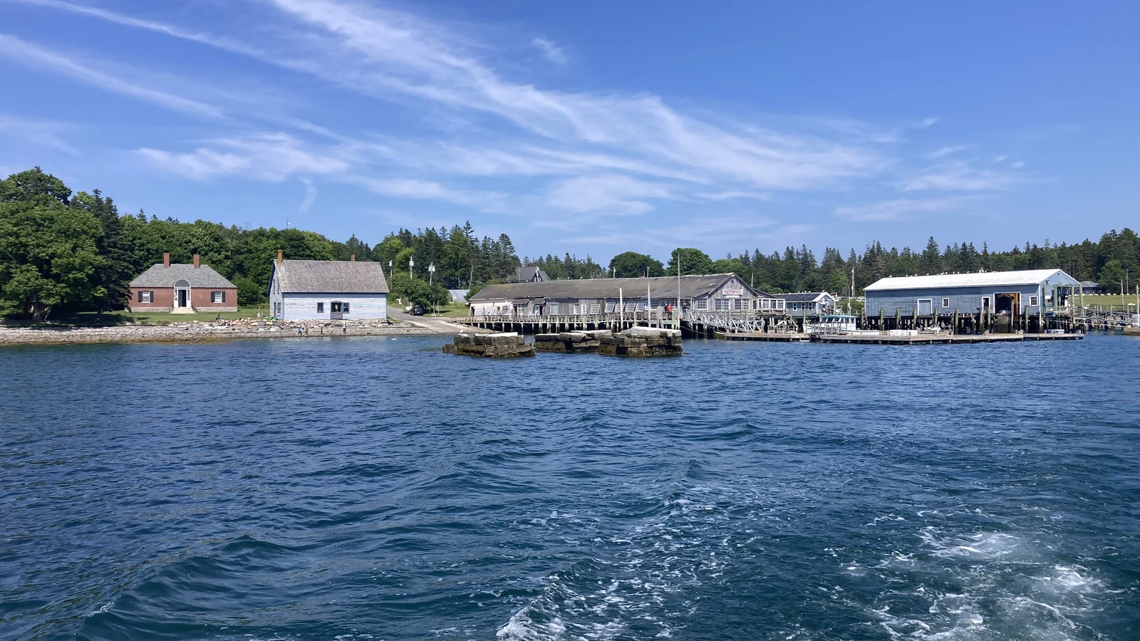
We didn’t make it to Damariscove, an important historical port that helped feed the Pilgrims, but we did ply the waters around the infamous Cranberry Islands south of Northeast Harbor on Mt. Desert Island.
With the warmest days of the young season upon us, going to sea was not only physically cooling, but also health food for the soul.
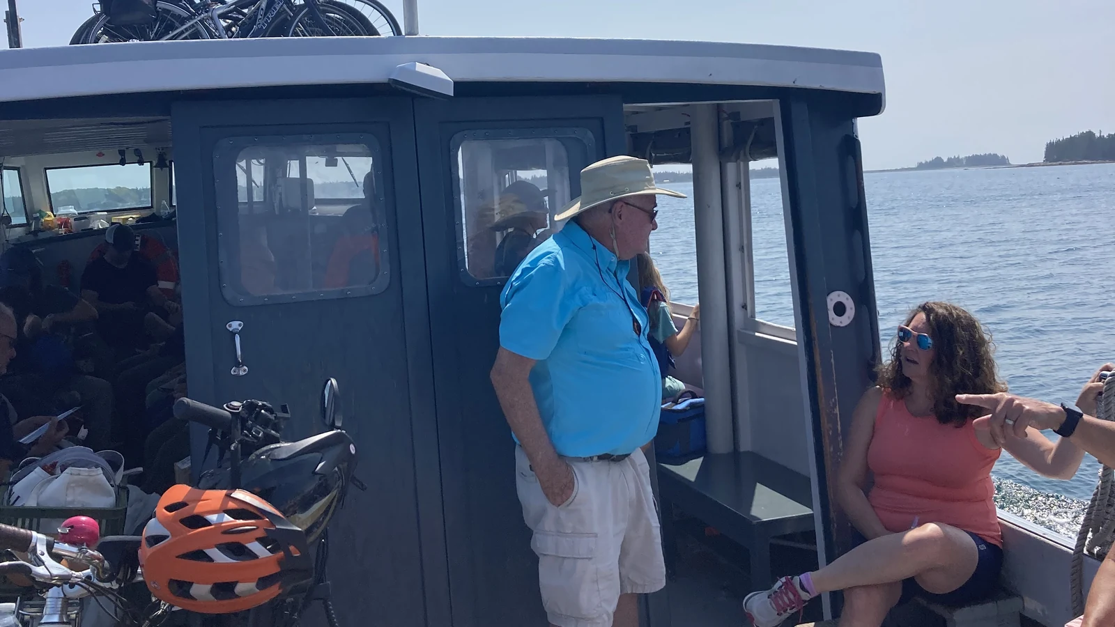
Wednesday found us leaving the Northeast Harbor dock upon the Beal & Bunker Mailboat. Laughing at and trying to ignore the flatlanders asking what a mailboat is, we had our bicycles atop the wheelhouse for a day of exploring on Little Cranberry Island, a small offshore village with a big fishing problem. Little Cranberry also offers a panoramic view of Acadia National Park’s numerous mountains.
Bobbing along at 9-10 knots, the mailboat meanders around the countless, multi-colored lobster buoys with only the Coast Guard’s navigational ATONs guiding our passage. No white lines, no yellow lines, no honking horns, and no electronic driving aids trying to take over the helm! And the smell of the open ocean—just awesome.
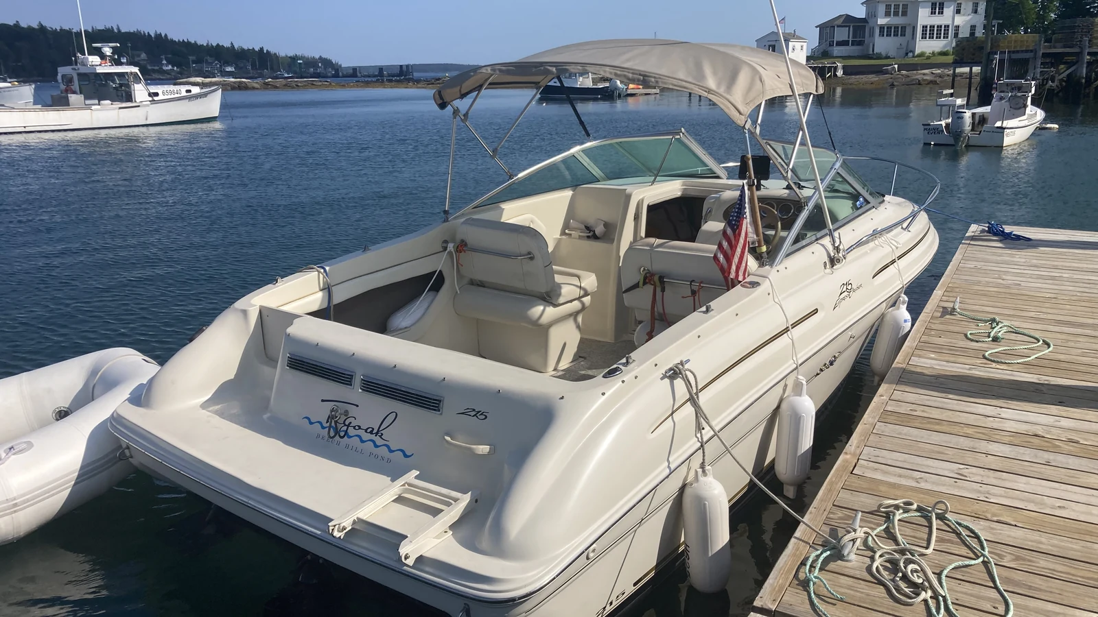
Thursday brought another launch from Northeast Harbor on our own passage-maker—a 21′ SeaRay. With cousins and their kids, we headed to Baker Island, the outermost of the Cranberry Islands. Part of Acadia, and with even more spectacular 360-degree views, Baker still has three homes from the original residents from the 1840s, lovingly cared for and lived in during the summer. With no power, hand-dug wells, and no liquor store, you make very strategic plans for your extended stay on Baker.
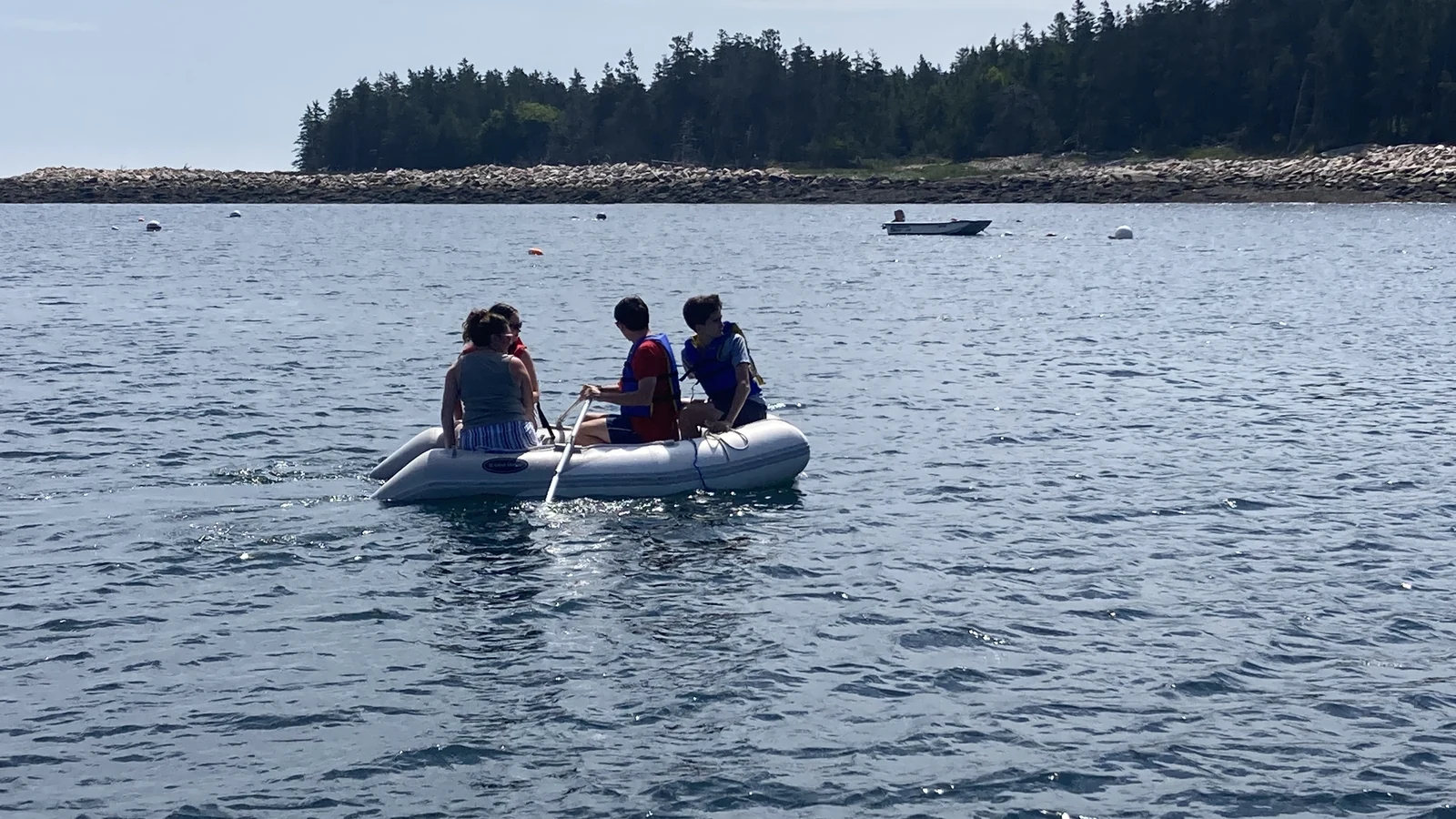
With no dock, but a large mooring field, you Navy Seal onto the cobblestone beach at Baker. My uncle’s grandson Jack was only too eager to row the inflatable with all of us back and forth to the island, as well as drive the boat, a young driver happy to learn more about the skills necessary to pilot over the seas.
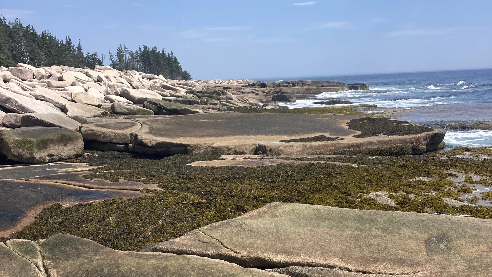
Baker is cherished not only for its scenic beauty, but also for its scenic lighthouse and the infamous “Dance Floor” on the island’s south shore. Large slabs of pink granite have been tossed and broken on the shore, creating numerous flat pads—dance floors—that invite sitting and contemplating about our insignificance against the power of the sea. Passing sailboats plus the thrum of a diesel lobster boat working nearby adds to the ambience.
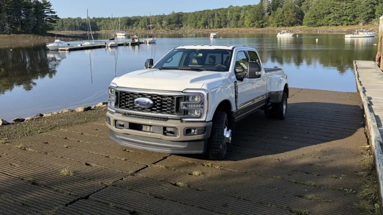
With the unrelenting heat, Friday demanded another day on the water, and the excellent launch ramp at Seal Cove in Tremont was happy to oblige. Primarily a working waterfront, this day we were early and earned a prime parking spot in the shade as well as sole “ownership” of the ramp during our quick launch. With favorable conditions and the humidity building, we knew that the cool beach at Marshall Island had to be our destination.
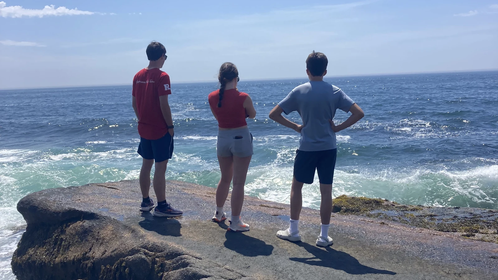
Marshall Island is the largest uninhabited island on the whole East Coast of the US. At almost 1,000 acres, there is not a single building left, as even the dock has been removed. Gliding over the smooth, expansive waters of Blue Hill Bay, through Casco Passage on the west side of Swan’s Island and into Jericho Bay, we needed not worry about slow trucks, wide loads, or daydreaming drivers, as we had the largest road in New England in front of us. And not another boat.
Dropping anchor in the white sand cove at Marshall, there were already holiday revelers set up on the wide fine-sand beach, which is a true anomaly in granite-strewn Maine. Swinging on the hook in the soft breeze, a lazy nap after a short 2.5-mile hike on one of the great trails (there is an old airfield still visible in the center of the island), plus a very brief swim in the 56-degree clear blue waters, made thoughts of returning to the reality of driving on our tortured, tourist-invested goat-path roads a faraway fantasy that could be ignored for several more hours.
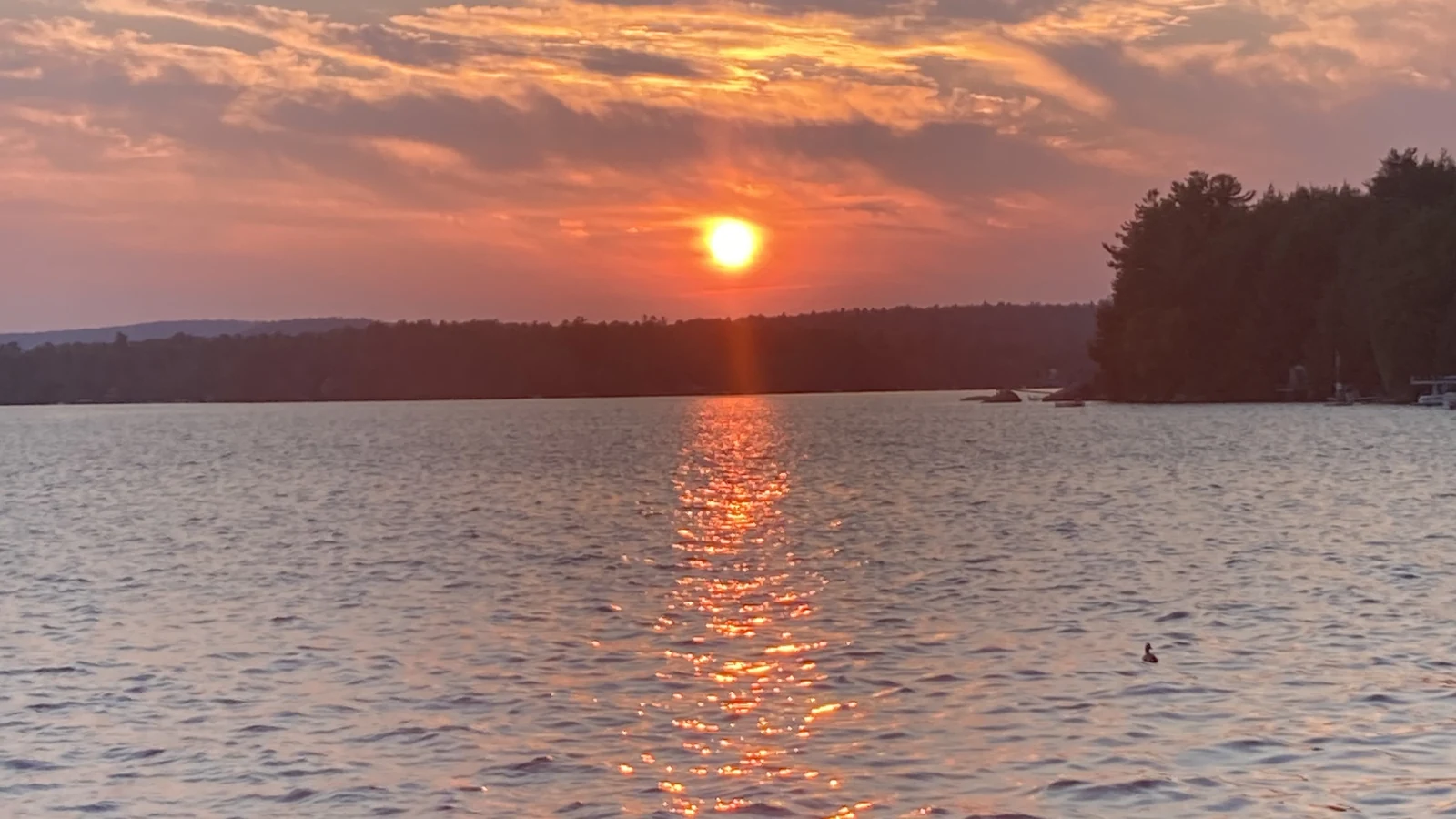
The sea, our biggest roads for life, economics, and pleasure, also gives us a great place to put our brains in neutral—the driving zone that too many pavement-bound drivers seemingly employ during the majority of their time behind the wheel. The carefree life of being on the water makes those other roads more bearable.