Outrunning a Hurricane on Route 66 in a Ford Super Duty
How many days would you take to drive across America?
Would you explore the cities and states that you cross? Would you talk to the people along the way? What would you want to drive? And, would you be able to retain your focus, or would the temptations of America force unexpected compromises in your intended journey?
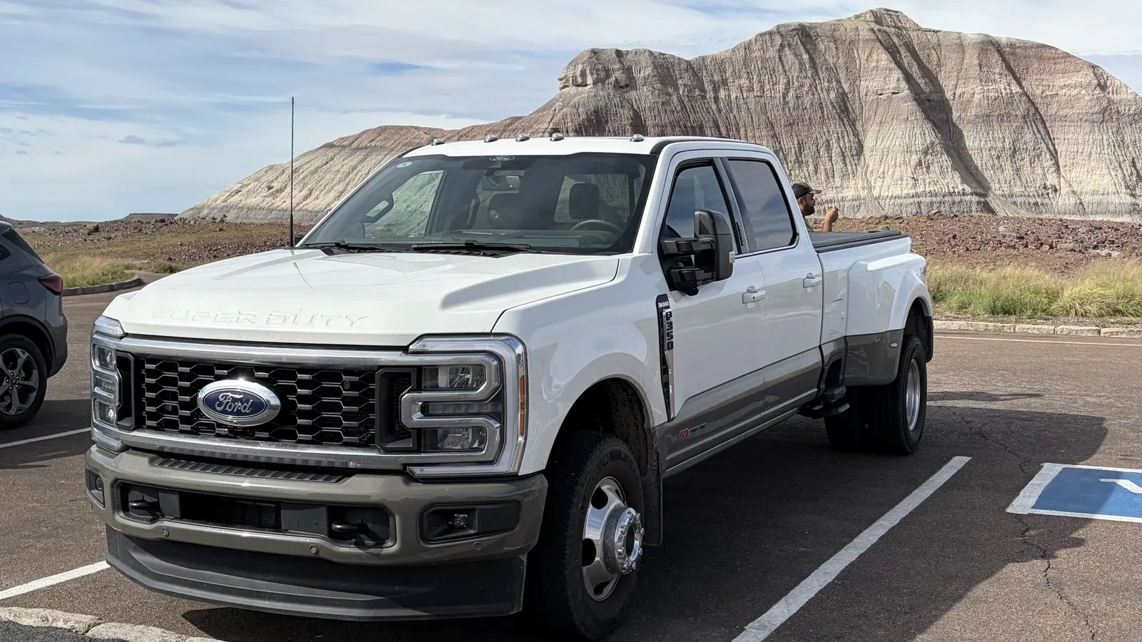
End of day 16 of our cross-country, Route 66, Main Street America Tour, finds us along the banks of the Colorado River in Needles, California. So far, our Ford F-350 Super Duty has been an unparalleled Sherpa, handling all of the abuse of Mother Nature as well as the uneven, tired roads across our great land.
Thus far, we have traveled over 3,300 miles. Every day has been an adventure as we push west across the high plains through Oklahoma, New Mexico, Arizona, and now prepare to complete phase one of our fall journey to the Santa Monica Pier—the theoretical end of Route 66.
Our experiences have been vast—and vastly strange at times.
Perhaps that is the beauty of traversing the Mother Road, the Will Rogers Highway, and America’s Main Street, all at the same time.
We have learned that the Southwest bend of Route 66—from the industries and businesses of Chicago to the opportunities and markets of the growing California in 1926, connecting Joliet, Springfield, St. Louis, Tulsa, Oklahoma City, Amarillo, Albuquerque, and Flagstaff to Los Angeles—was to avoid the expense of building a more direct, and expensive, route across the Rocky Mountains. Crossing the Continental Divide in New Mexico at 7,000 feet is a lot better than Colorado at over 12,000 feet.
We have witnessed the progression of cars that flooded the route, with relics remaining on the side of both the original and Historic Route 66, now alongside Interstate 55 south and I-40 west. Any car enthusiast with resources could have a field day gathering the old muscle cars and one-off brands that can be found decaying beside the road in every state.
And the gas station memorabilia. Lordy, that is an industry unto itself, as countless old stations are now museums, gift shops, or fodder for sorry photos of what used to be. We discuss each day, how did our ancestors make those long plains crossings in Oklahoma, Texas, and New Mexico with nothing on the horizon except more horizon—all of their possessions tied onto the side of the car, along with extra gas, water, and rations of food.
We have learned to not always follow the guide books or the #66 route on the GPS, lest you want to end up in a wash-out, or up against some rancher’s cattle gate.
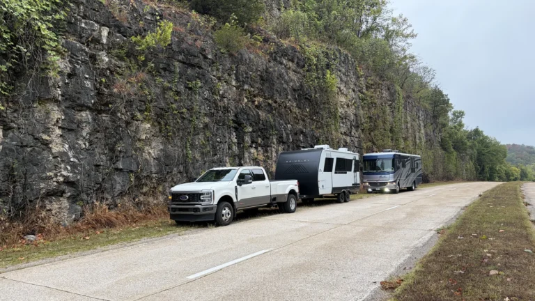
Our Super Duty and 20-foot Brinkley, plus our friend’s 31-foot RV, have traveled down 5-lane Main Streets in Adrian, Texas—the mid-point of Route 66—with not another vehicle in sight. Shamrock, Texas, same thing; nice small town with a huge empty road problem—one of the results of being bypassed by Eisenhower’s interstate.
In Amarillo, we discovered the opposite. Not only is this cow town the hubbub of the Texas panhandle, it has the largest gas station we have ever seen; Buc-ee’s has 64 gas pumps (that’s 128 fueling positions) with a canopy almost two-tenths of a mile long and a general store as big as any grocery store.
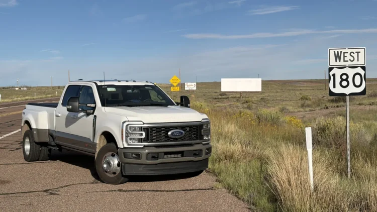
We have traveled on Route 180—our home road in Maine—in three other states.
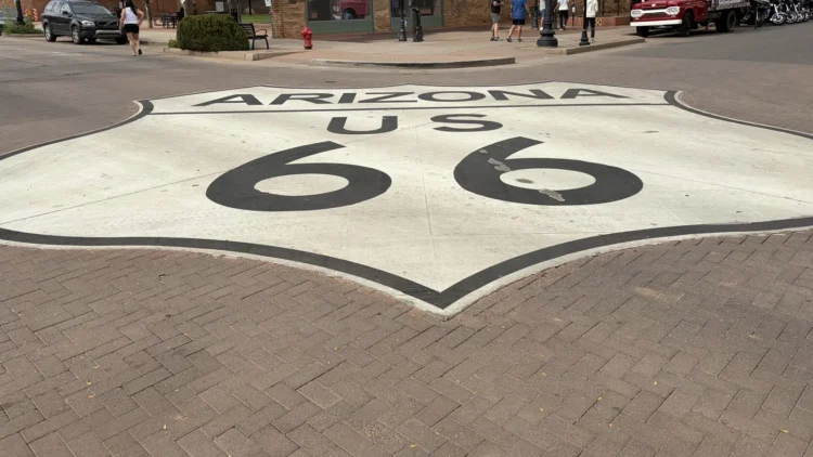
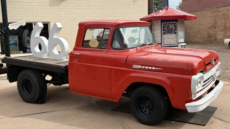
We sat in the ice cream shop in Winslow, Arizona, right across from the statues of Jackson Browne and Glenn Frey (who wrote the now famous song about a girl in Winslow performed by The Eagles) across from the flat-bed Ford, next to the giant Route 66-logo painting on the road, talking with two couples riding Harley-Davidsons that were from New Hampshire, with one of them also owning a summer camp exactly five miles from where each of us live in Maine. That’s how small-town Route 66 is.
And we have seen the Grand Canyon—not in all of its majesty on a clear day, but hiding its many virtues in fog and rain, an alluring wonder of the world telling us, like Route 66, you just can’t get it all done in one visit.
Along the way, the Super Duty has impressed with its seamless operation. Working with the chain anti-sway bar system affixed to the Brinkley travel trailer, we rebuffed all of the winds across the open plains, the combo rock steady. Having the dually rear wheels lends incredible confidence to all of our towing, the wide-track stance keeping us planted, while the diesel engine makes light work of our small trailer. Our fuel mileage has varied as much as the terrain and the price of diesel; as low as 11 mpg and as high as 13.3 mpg, while fuel has been $5.79 at its least expensive and as high as $6.59.
To keep the Ford in such fine tune, we scheduled mileage-based service with Babbitt Ford in Flagstaff, Arizona when we arrived on day 14 of our trip.
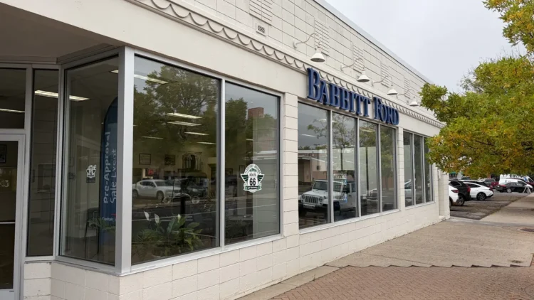
Babbitt Ford is the oldest Ford dealership in Arizona, and the third oldest Ford dealership in all of America. Founded in 1912 by E.D. Babbitt as part of the fledgling Babbitt Brothers Trading Company, Babbitt Ford remains a fixture in downtown Flagstaff, still operating out of its original location—plus several strategic expansions—next to infamous Route 66. With the next closest Ford dealership nearly 80 miles away, Babbitt is the primary source for Ford work trucks in this high-mountain community.
Service writers Candice and Marcos whisked us right in early Monday morning, promising to make our chariot as good as when Ford sent it to New England. Meanwhile, the four of us rented a pickup from Enterprise nearby, and took off for our day at the Grand Canyon 89 miles away.
Today, the weather almost burned me. After descending all day from 7,000-foot Flagstaff (47-degree start) we elected to chase one of the favored old sections of Route 66 from Seligman, AZ to Needles. This original route swings west away from the new I-40, heading towards Kingman, AZ. Storms had chased us all day, remnants of Hurricane Polo in Mexico. We had short periods of sun followed by heavy rain, lightning, even hail.
By Kingman—a much larger town than I thought—the black storm-clouds were on three sides. We needed to get going, but I persisted on following the legendary route to Oatman, over the mountain pass. Brad and Laurie in the RV said no, we are going to Needles on the superslab. Before we could get beyond the city limits, the storm caught us both. My wife and I were on a rough, paved Route 66 that turned to dirt, then to nothing but a trail into the back of a neighborhood. We bounded along for almost a mile until we found pavement and raced to get ahead of the storm.
But nature won. We made it across the Sacramento Wash valley with the promise of bright skies ahead. But, as we did the circuitous 15-mph climb up to 3,550-foot Sitgreaves Pass, creeping around the hairpin turns with no guardrails, past the wild burros, the narrow road got smaller as the wind and rains found us. By the time we had snaked over the 10-mile pass, and down into the old mining town of Oatman, a woman was waving vehicles out of Main Street, telling us this was our last chance to evacuate before the road was closed due to the flash flood waters rushing down the road.
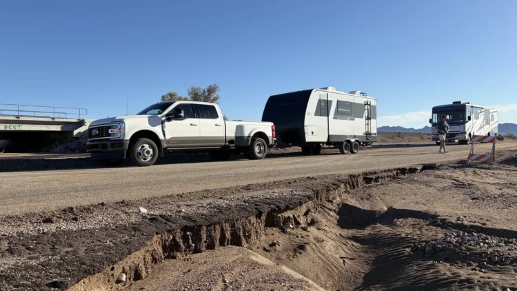
The Ford never missed a beat. And we got to Needles in time for rainbows and homemade burritos.
California or Bust!