Moab to Music City: 6,000 Miles in a Ford Super Duty
Moab!
Las Vegas is widely known as an adult playground, but almost all of its attractions are inside so that “what happens in Vegas, stays in Vegas.” Sin City indeed.
Moab, Utah is the exact opposite. Everything is outside. Exploring, hiking, biking, rafting, ATV/UTV expeditions, two splendid National Parks (Arches & Canyonlands) with countless natural wonders, plus there are the numerous trails through the desert that connect to other regions—even as far away as the Grand Canyon and Lake Powell. If you can dream it, and do it on foot (we witnessed back-country runners participating in a 240 Ultra-Marathon!!), on a dirt bike, mountain bike (Moab claims to be the mountain bike capital of America) or a Jeep, Moab can make it happen.
Think Wranglers with $20,000 suspension and wheel upgrades, or LS V-8 engine upgrades and you’ll have an idea of the scope of commitment to playing in this red dirt.
And, if you enjoy seeing giant arches, high mountain plains, and buttes, following the Colorado River, and challenging your mind and body, you will be enriched beyond expectations.
Our journey has been blessed with excellent weather—except for some significant but short-lived rain events. Most of our visits have coincided with above-normal temps, facilitating excellent adventures.
But the rains caught up to us in Moab, as well as cooler temps, so it was time to move forward, heading east to Colorado on Day 28.
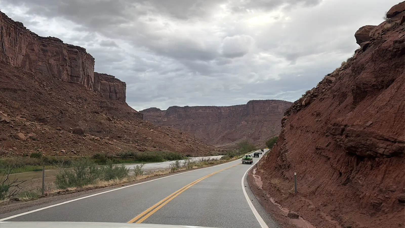
We left this small town with an outsized personality via Utah Route 128, another scenic, circuitous route following the Colorado River heading northeast. The drive is spectacular; 15+ miles of snaking through massive canyons on the edge of the river—few guardrails the norm—with each twist and turn revealing massive cliffs, swirling waters, and majestic views.
All at once we pop out into a large valley, with horse ranches, spas, camping sites, and VRBO rentals populating a lush wide spot alongside the river. Our gentle climb brings us closer to the high plains above Arches and Moab.
Another 30 minutes takes us across open land to I-70 and on to Colorado—our 18th state on this wild adventure. We are climbing towards the Rockies and the Continental Divide. We cross at Monarch Pass, 11,312 feet—the highest driving point any of us have ever experienced. It is 20 degrees cooler at the top, with heavy winds—and another long, snaking grade with no guardrails.
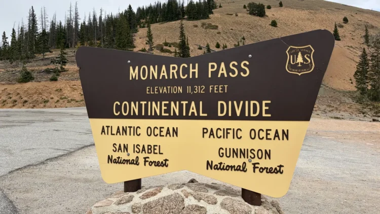
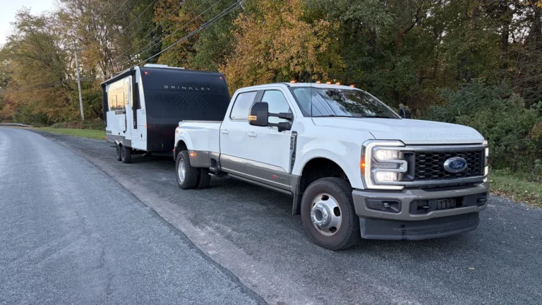
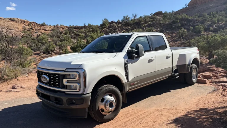
Again, we employ the Ford’s dynamic cruise control—a giant driving assist on our trip. Setting a low speed, the big air pump under the hood—the Power Stroke diesel—holds us to the selected speed, saving our brakes on the long descent. The ever-present towing assists available in the Super Duty make this truck not only a technological marvel, but a gold-star companion.
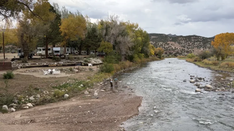
By evening, we reach the small town of Holly, and take an RV site along the banks of the Arkansas River, where fly-fishermen are attempting catching. We had left the interstate as soon as possible, joining Colorado #50 to cross the high plains east of the snow-covered Rockies. A primary east/west route that alternates between fast 2-lane (65-mph limit) and faster limited-access 4-lane surfaces, this route is also the link to the Santa Fe Trail National Scenic Byway.
The Santa Fe Trail began in 1821 as a trade route from Franklin, Missouri, across the Great Plains, tracing the Arkansas River and then south to Santa Fe, New Mexico—which was still part of Spain. It was—and still is—a major commercial corridor, with many small towns springing up, just like along Route 66. The similarities are uncanny; tiny whistle-stop towns with wide Main Streets, abandoned businesses, small houses, and big ranches that spread across the horizon on each side of town.
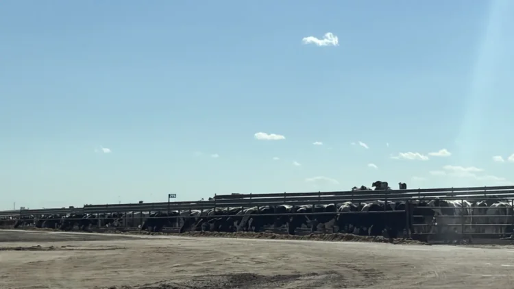
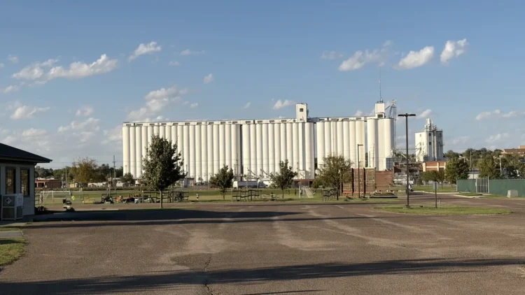
And cows. In eastern Colorado and then on to Kansas, we see thousands and thousands of Black Angus. And wind towers. And grain silos bigger than casinos. The horizon may be flat, but never boring.
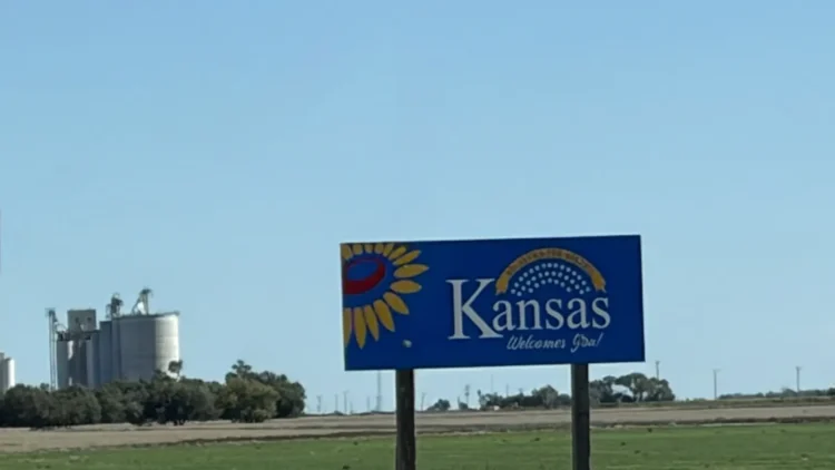
The traffic varies; tons of big Peterbilts hauling grain, gravel, and cows meet us. And then miles of nothing. And then another town brings another wave of trucks.
If Route 66 transformed how Americans traveled, and where, while fueling economic growth and creating a definitive roadside culture—fast-food, motels, small gas stations in every town—then the Santa Fe Trail established the commercial demand for such routes connecting sections of America to other states, other markets.
This is never more clear than in Dodge City, Kansas, where thousands of cattle are transformed into dinner table fare, every day. On the west side of town, hundreds of thousands of cows fill expansive ranches. On the east side of Dodge, Ford County has over 700,000 acres of food production ranches—wheat, corn, sorghum—shared by 525 individual farmers. As far as the eye can see, food being raised.
Route 50 morphs into #54 and then #60, and remains the Santa Fe Trail heading due east. Flat Kansas suddenly sprouts trees and some rolling terrain as we head into Missouri—our second visit. It is hot—95 degrees on Day 30 outside Springfield, 20 degrees above average.
Fueling up at a truck stop next to a Waffle House breakfast, we chat up the day ahead with a tanker driver in his polished red Peterbilt who used to long-haul to New Hampshire and back-haul paper from Maine. He said he missed going north—cooler in summer—but didn’t miss the aggressive drivers. We concur, telling him that driving in the Midwest is an absolute joy compared to the maniac drivers in the east—and in California.
Day 31 puts us across the giant Mississippi River, the Ohio River, and the Tennessee River in quick succession. Barges pushing up and down the rivers, giant hydro dams, and more trucks hauling goods to the various ports dominate the view, and the activity.
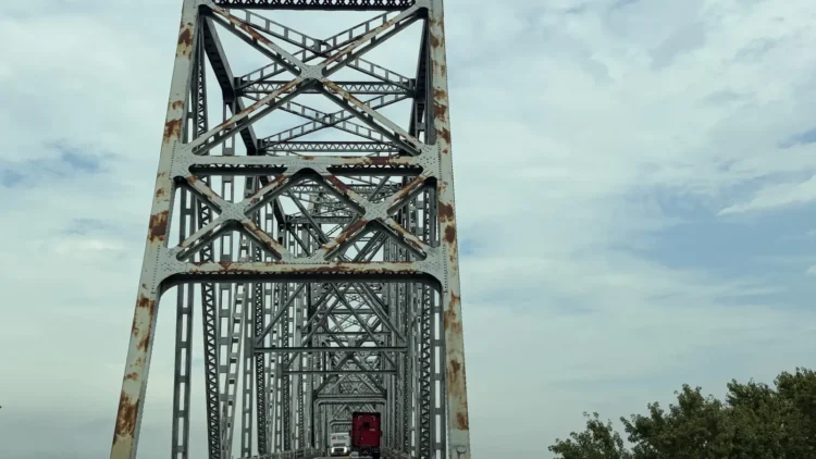
We pass through Cairo, Illinois, easily the most depressing, almost disgusting city/town on our cross-country journey. Broken cars litter the streets, themselves full of trash. The houses aren’t fit for habitation, most of the businesses are shuttered, or falling down. But there is a new city hall. Something is very rotten in Cairo.
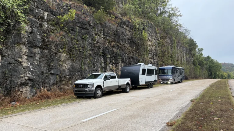
And then it’s on to Kentucky, where I-24 often matches the decrepit surface conditions experienced in New Mexico. We slow down, but the truck and the camper trailer are taking a beating. Our camper retailer visit back in Utah explained that hauling your house (your camper) is akin to towing your structure through an earthquake every few miles. Kentucky’s interstate was a combination earthquake and tornado.
It is 93 degrees when we land in Nashville, 6,000 miles into our excursion. From Sin City to Moab, to Dodge City and on to Music City, our American experience history lesson continues.
Next: The final leg of our cross-country trip and what we learned.